SkySAFE - Safe Airport Operations
| Company | Transoft Solutions |
|---|
Images
The optimum tool for obstacle clearance compliance
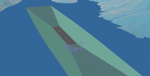
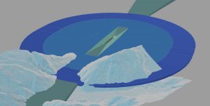
SkySAFE assists planners and operators to protect airport departure and approach paths, the highest priority for every airport. The software effortlessly creates obstacle limitation surfaces and free zones and analyzes the impact on these surfaces of any obstacle or terrain that has been defined or imported. Surfaces can be depicted based on standards published by ICAO, EASA, FAA, or several national authorities, in a complete 2D or 3D CAD environment. Output is easily integrated into airport layout plans, obstacle maps or certification documentation.
- ICAO- EASA and FAA international standards
- Single or multiple runway environments
- Approach and departure categorization
- Obstacle data import or manual definition
- Terrain coordinate data import
- Obstacle limitation surfaces and free zones
- Analysis and reporting tools
- 2D or 3D CAD visualization
- Standalone and Network licensing
- Compatible with Autodesk AutoCAD®.
