OpsSky Ground
| Company | OpsSky |
|---|
Images

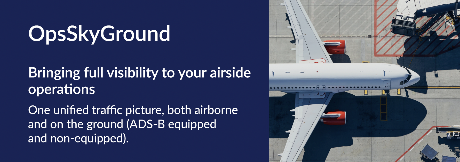
OpsSky Ground is a cloud-based ground surveillance service designed to extend existing airport surveillance systems by making GPS-tracked vehicles and assets visible as ADS-B targets.
The service focuses exclusively on ground operations, helping airports improve situational awareness without installing certified ADS-B transponders on every vehicle.
Core Concept
OpsSky Ground works as a background service that converts GPS tracker data into the ASTERIX CAT21 format, allowing seamless integration with existing airport surveillance solutions that already support ADS-B input.
How It Works
- GPS trackers installed on ground vehicles transmit position data.
- OpsSky Ground processes this data in the cloud.
- The data is converted into ADS-B (ASTERIX CAT21).
- Converted data is injected into the airport’s surveillance system.
- Vehicles appear on surveillance displays as standard ADS-B targets.
Visualization & Analysis
OpsSky Ground includes a map-based visualization module that allows users to:
- View real-time ground movements
- Replay historical (recorded) data
- Analyze ground operations and traffic patterns
Key Benefits
- No need for certified ADS-B transponders on vehicles
- Minimal changes to existing surveillance infrastructure
- Fast deployment and low operational cost
- Improved ground situational awareness and safety
KPIs Enabled by OpsSky Ground
- Safety KPIs
- Operational Efficiency KPIs
- Environmental & ESG KPIs
- Compliance & Governance KPIs
- Capacity & Planning KPIs
- Financial & Performance KPIs
In Summary
OpsSky Ground delivers Ground Surveillance as a Service, bridging the gap between low-cost GPS tracking and professional ADS-B-based airport surveillance systems.
By integrating certified ADS-B and Virtual ADS-B trackers, the system not only provides unified real-time ground visibility but also enables calculation of key safety, operational, environmental, and performance KPIs — transforming movement data into actionable operational intelligence.
Service Type
- Ground Surveillance as a Service (GSaaS)
- Cloud-based background processing service
Operational Scope
- Airport ground operations
- Ground vehicles and mobile assets
Input Data
- GPS tracker position data
- Supports commercially available, non-certified GPS trackers
Data Processing
- Cloud-based data ingestion and processing
- Real-time and recorded data handling
Output Data
- ADS-B compatible data in ASTERIX CAT21 format
System Integration
- Compatible with surveillance systems supporting ADS-B / ASTERIX CAT21 input
Visualization & Analytics
- Web-based map visualization
- Real-time ground traffic monitoring
- Historical data replay
- Ground movement and traffic pattern analysis
Deployment Model
- Software-as-a-Service (SaaS)
- OPEX-based subscription model
- Minimal on-site hardware requirements
Scalability
- Scalable by number of vehicles and assets
- Suitable for small, medium, and large airports
Security & Reliability
- Secure data transmission
- Cloud-hosted with redundancy and availability monitoring
Other Products From OpsSky