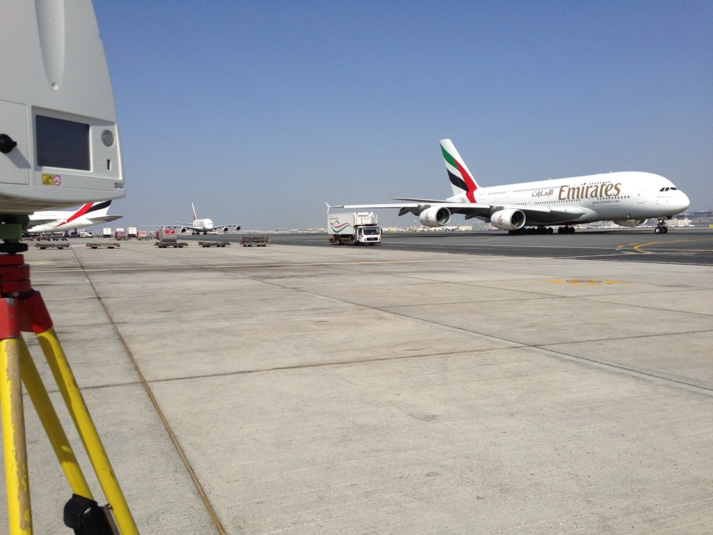
We have just completed a project to scan 20 stands for Dubai Airports.
This was a project with real time pressure, with the need to get as much data as possible when the stand was vacant. Despite many aircraft movements every day, we got great results, identifying important features such as fuelling points, markings and airbridge positions. The scans are linked to GPS data for use with our WGS84 survey information