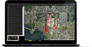
Remote Stand Plan
| Company | AeroCloud |
|---|
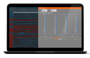
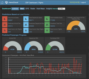
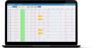
Images
Save hours planning Remain Overnights (RONS) and long term parking and ensure accurate billing.
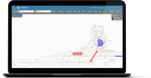
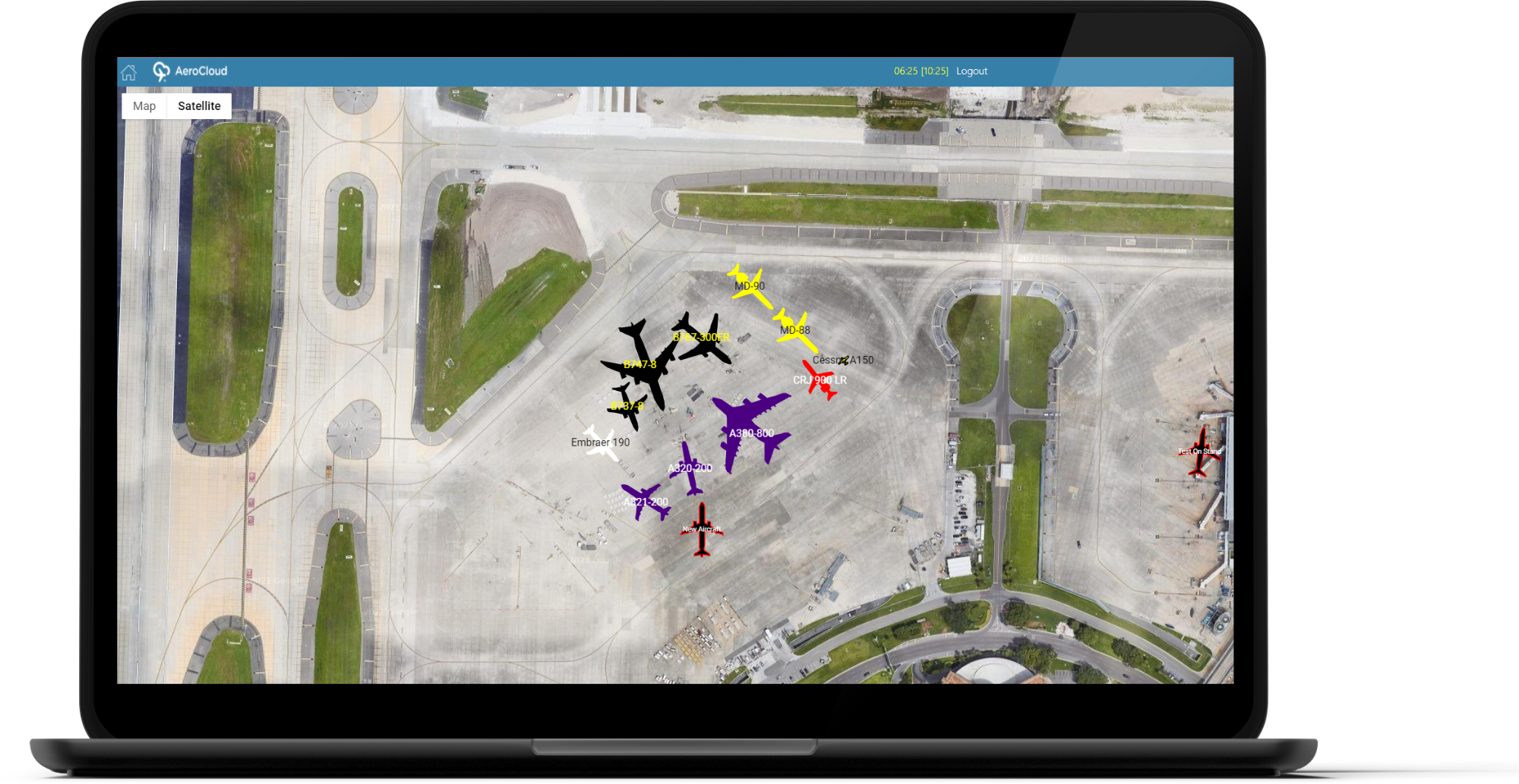
AeroCloud’s Remote Stand Plan uses Google Maps data to provide a visual overview of your airfield. It allows you to try different configurations on your airfield map and you can also mark areas and label and colour them as in use or out of service.
This module will help you to plan for the expected and for last-minute changes. Do you have events nearby that lead to sudden surges in demand for (RONs)? Maximise the utilisation of available space so you don’t run out of spaces and share your plan with account to make sure that billing is accurate. During the Covid-19 pandemic, airports used our Remote Stand Plan to find space for grounded aircraft when restrictions came into force.
Model your airfield using real aircraft models. Our Remote Stand Plan lets you pick from a list of the most popular aircraft with accurate dimensions and maximum take off weights (MTOWs). You can also allocate each aircraft’s tail numbers or other identifiers.
Our Remote Stand Plan is part of our intelligent airport management platform.
Other Products From AeroCloud
Lease Management System

Flight Information Display System & Situational Awareness (FIDS)
Flight Management System (FMS)